In Suriname, Saamaka Communities Are Mapping the Forest Before It Disappears
New reporting on community mapping in Suriname reveals how Indigenous and Maroon forest communities are using geographical knowledge and modern tools to contest extractive pressure. The deeper issue is who has the power to define and defend a territory.

A different kind of forest map
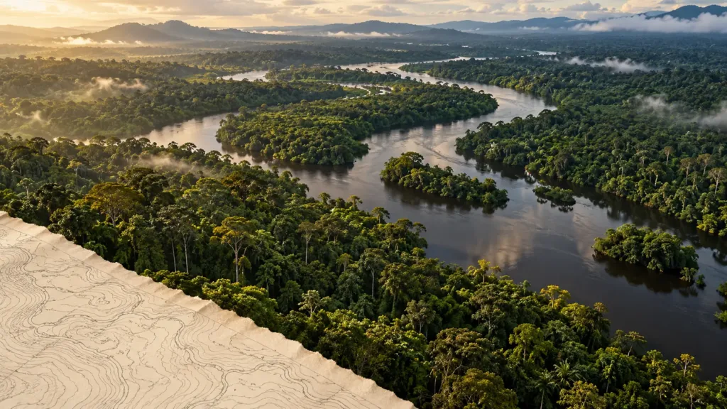
On a conventional map, a forest is a patch of green with lines that mark rivers, concessions and national borders. For the people who live in it, the same place contains a far more detailed geography: the routes used to reach gardens, places of cultural significance, the locations of food and medicinal plants, and waterways that connect communities to one another. When an outside company or authority makes decisions using only the first kind of map, much of what matters can disappear before a tree is cut.
That is the tension behind new Associated Press reporting published on October 26, 2026, about Saamaka communities in Suriname and their use of mapping and monitoring to defend ancestral forests against logging and mining pressures. The story concerns technology, but technology is not its central subject. It is about whether people with long-standing relationships to the land can make those relationships visible to institutions that often privilege official documents and commercial boundaries.
The Saamaka are a Maroon people whose ancestors escaped enslavement in the colonial era and built autonomous communities in Suriname’s interior. Their history matters because contemporary disputes over territory are not simply arguments about undeveloped land. They concern communities with established social structures, historical ties and claims that cannot be reduced to the presence or absence of a modern title deed.
What This Article Covers
- What the October 26 reporting reveals about community-led mapping.
- Why Saamaka territorial rights have a distinctive history.
- How maps and satellite observations can support forest protection.
- Where logging, mining and development pressures create conflicts.
- Why technology cannot substitute for legal rights and enforcement.
- What other Amazonian and tropical forest communities can learn.
Key Takeaways
- Saamaka communities are using geographical tools and community knowledge to document forest territories.
- The reporting concerns pressures and contested decisions, not a court finding that every company or official involved committed a crime.
- Mapping can produce evidence of land use, ecological change and culturally important places.
- Community consent, legal recognition and effective remedies remain indispensable.
- Forest protection works best when communities control how sensitive information is collected and shared.
Why this story is receiving attention now
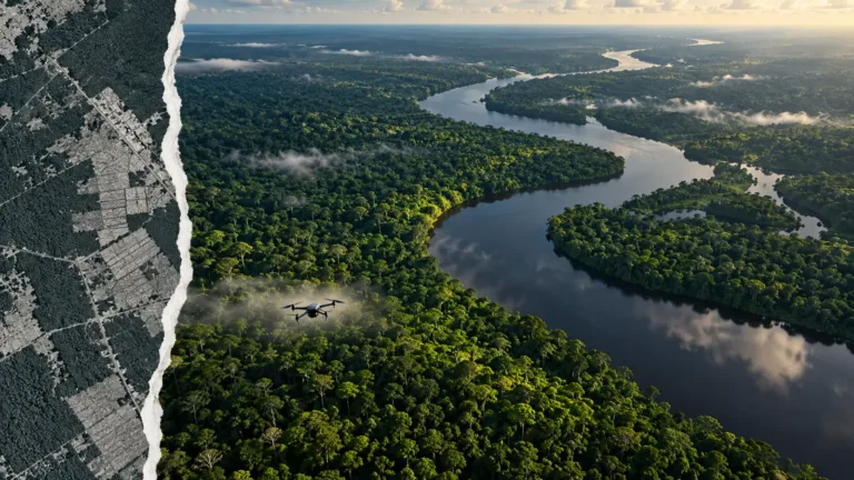
Remote sensing has become more accessible. Satellite imagery can reveal a new road, a patch of clearing or changing patterns of extraction without requiring a person to travel to every location. Global mapping platforms make many of those changes visible to researchers and journalists far from the forest. Yet remote observation has limitations. A satellite can record a change in vegetation but cannot reliably explain who authorized it, whether a community consented, whether a clearing is lawful or how a place is used culturally.
Community mapping brings the human landscape back into that picture. Residents can record waterways, paths, gardens and the boundaries of areas understood through customary practice. They can compare historical knowledge with new changes observed from the ground or in satellite images. Such evidence can support negotiations, administrative challenges and, where appropriate, litigation.
The AP report is therefore timely in a broader debate about digital environmental monitoring. Conservation organizations and governments frequently celebrate better data. The Saamaka case asks a harder question: who decides what the data means, who owns it and whether an institution is obliged to act once a community presents it.
The history behind Saamaka territorial claims
Suriname’s Maroon communities trace their origins to people who escaped slavery and formed societies in the country’s forested interior. Their relationships with the land developed long before today’s concession maps and modern administrative boundaries. Forest areas support livelihoods, social organization and cultural practices that can be difficult to document within conventional property systems.
The Inter-American Court of Human Rights has previously addressed the rights of the Saramaka, another spelling commonly used in English-language legal material, in the landmark Saramaka People v. Suriname case. The court recognized duties associated with the community’s communal property rights and participation in decisions about large-scale development affecting its territory. The history of that litigation provides important background, although it should not be assumed that every contemporary dispute has the same facts or legal outcome.
Mapping can help express customary territorial relationships in forms that institutions recognize. It also risks compressing fluid, shared or seasonal practices into hard boundaries. Researchers and officials must therefore avoid treating a map as the only valid expression of community rights. Rights do not begin on the day a community acquires software or a GPS device.
What mapping can show, and what it cannot
Community maps can document the location of farming areas, fishing grounds, footpaths, burial sites and culturally important forest areas where residents choose to disclose them. Repeat observations can help identify changes over time. Satellite data may show canopy loss or road construction, while local observers can explain when the change began, who was affected and what consequences followed.
The strongest evidence often combines multiple sources. Dated images, geolocated photographs, official concession documents, land-use histories and witness accounts can help establish whether a particular activity overlaps with a contested territory. Independent verification is important, especially where legal proceedings or accusations of unlawful activity are involved.
Maps also have limits. Canopy cover can change through storms, natural river movement and small-scale subsistence use, as well as commercial clearing. A mining site visible from above may be authorized, unauthorized or subject to disputed permissions. Satellite imagery alone rarely settles the legal position. Nor can it capture the full social effects of a polluted river or access road.
There are privacy and safety considerations. Publicly identifying sacred sites or valuable resources can expose them to intrusion. Publishing the location of an environmental defender’s home can create unnecessary risk. Community control over data, informed consent and protocols for sharing sensitive information are therefore central to ethical mapping.
Logging, mining and the economics of access
Timber and mineral resources can produce substantial economic incentives, particularly where global demand is strong and local institutions have limited investigative reach. Roads created for one purpose may allow other forms of access. River transport can connect remote extraction sites to processing and export networks. The resulting pressure may be felt unevenly: a community may bear changes to water, food resources and territorial access while much of the revenue goes elsewhere.
It is important to distinguish extraction from illegality. Commercial logging or mining can be conducted under permits, though their social and ecological impacts may still be contested. Illegal extraction raises additional questions about enforcement, corruption and the movement of commodities into legitimate markets. Claims against an identifiable operator should be investigated and attributed; a generalized discussion of pressure on Suriname’s forests is not grounds to accuse a particular business of crime.
Environmental effects also differ by activity. Road construction can fragment habitats. Tree removal can alter watersheds and local ecosystems. Gold extraction in some settings may create risks of sedimentation or chemical contamination, although the presence and scale of pollutants must be established through testing. The relevant question is not simply whether a forest looks greener on a satellite image, but whether its ecological functions and the community’s relationship to it remain intact.
Who has authority to speak for the forest?
Community representation is not a technical footnote. A map may be produced by a local association, a traditional authority, a youth group or researchers working with residents. Each arrangement raises questions about consent and accountability. Communities are not uniform entities. People can disagree about boundaries, development, conservation and the sharing of benefits.
Effective participation means more than asking residents to verify information after a project has been designed. Communities need access to relevant proposals, time to consider consequences, independent advice where appropriate and credible ways to challenge decisions. Legal standards vary, but the principle that people should meaningfully influence decisions affecting their territory is central to the argument for community-led mapping.
Outside organizations can provide useful training, equipment and legal support, but the resulting system should not become dependent on an inaccessible external platform. Data held in a format that residents cannot inspect or update may reproduce the same imbalance it was intended to correct.
That applies to environmental journalism too. Images of forest loss can be dramatic, but reporting should not portray residents merely as symbolic guardians of nature. They are political actors, workers, parents, farmers and community leaders with varied aspirations. Their own account of what constitutes a good future deserves more attention than a distant observer’s preferred narrative.
Can this prevent environmental crime?
Mapping can reveal signs that warrant investigation and help authorities prioritize inspections. It can also provide records that are harder to dismiss when allegations arise. But it does not itself make an investigation lawful, obtain a prosecution or protect a witness who faces threats.
Effective enforcement requires accessible complaint channels, responsive public institutions and independent scrutiny of permits and financial transactions. When a violation is established, remedies may include stopping the activity, restoring damaged ecosystems, compensating those harmed or holding responsible parties accountable under applicable law. These outcomes depend on institutions beyond the mapping project.
The risk is that technical success becomes confused with political progress. Thousands of mapped hectares sound impressive, yet residents may remain unable to stop an unwanted road or secure clean water. A better test is whether information produced by communities alters decisions and strengthens their ability to exercise rights.
A wider lesson for the Amazon
Suriname is not alone in facing disputes over forest governance. Across tropical forest regions, local knowledge and territorial rights are frequently required to compete with formal concessions and distant markets. The methods vary and legal histories should not be flattened into one story, but a shared insight emerges: conservation is more durable when residents can help define both the problem and the solution.
Not For Sale’s work in Peru with Indigenous communities through AFIMAD offers a relevant parallel, not a claim of involvement with the Saamaka. That partnership has connected community leadership, forest protection and economic opportunities in the Peruvian Amazon. The connection is the practical importance of strengthening the people who live with conservation decisions rather than treating them as an afterthought.
The line a satellite cannot draw
The significance of Saamaka forest mapping is not that a new technology has finally discovered land people have known for generations. It is that communities are finding more ways to require governments and other decision-makers to recognize what has long been there.
A good map can make a claim harder to ignore. It cannot, on its own, produce justice. The measure of success will be whether the people whose knowledge gives the map meaning gain greater power to protect the places it describes.
Frequently Asked Questions
Who are the Saamaka people?
The Saamaka are a Maroon people in Suriname descended from communities formed by people who escaped enslavement during the colonial period.
What happened in October 2026?
Associated Press reporting published October 26 described Saamaka communities using mapping and related tools as part of efforts to defend forest territories facing extractive pressure.
What is community forest mapping?
It is the documentation of land use, ecological features, routes, cultural places and territorial knowledge by or with communities, often combining local knowledge and geographical technology.
Can satellites prove illegal logging or mining?
They can identify changes that may warrant investigation, but imagery alone generally cannot determine permits, consent, ownership or criminal responsibility.
Why do land rights matter for conservation?
Rights influence whether communities can participate in decisions, challenge harmful activities and maintain access to resources necessary for their livelihoods and culture.
What was the Saramaka court case?
The Inter-American Court of Human Rights considered the communal property and participation rights of the Saramaka people in Suriname. Its findings remain important background for territorial-rights debates.
Is all mining or logging in Suriname illegal?
No. Activities may be licensed, contested or unlawful depending on the specific facts and legal requirements. Environmental impact alone does not settle criminal status.
How can mapping projects protect communities?
By maintaining community control over information, protecting sensitive locations, supporting independent verification and connecting evidence to meaningful legal and policy processes.
Sources
Not For Sale
A global movement fighting modern-day slavery and ecocide in 33 countries. Building on the frontlines since 2007.